
Daily Weird News Report
The Atacama Desert, one of the driest regions on Earth, briefly turned white in August 2026 after two winter storms brought unusually widespread precipitation to northern Chile.
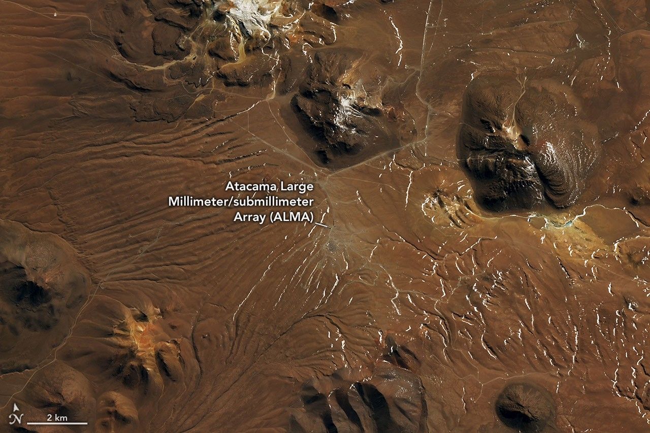
NASA satellite images captured the change across the region. Landsat 8 and Landsat 9 images from August 6 and August 14 show the Chajnantor plateau in the Chilean Andes before and after snowfall. The plateau, home to the Atacama Large Millimeter/submillimeter Array, or ALMA, went from a mostly brown landscape to one largely covered in snow.
A later image taken by NASA’s Terra satellite on August 19 showed snow stretching west from the Andes, across the desert’s hyper-arid interior and toward the Pacific coast south of Antofagasta. NASA described the event as unusually broad, with snowfall reaching areas where such conditions are rare. Snow has fallen in the Atacama before, including in 2025 and 2011, but the 2026 event covered a particularly extensive area.
High winds and snow forced ALMA to suspend operations and move its antennas into a protective survival mode. Other observatories near the coast also suspended operations during the storm.
According to René Garreaud, an atmospheric scientist at the University of Chile, the late-August storm developed from a cutoff low-pressure system that separated from an unusually large atmospheric trough extending from the southern tip of South America into the subtropics. Combined with moisture from the coast, the system produced precipitation offshore, along the coast, across the Atacama and over the Andes.
Not all of the precipitation fell as snow. In the coastal town of Taltal, nearly 40 millimeters of rain accumulated over three days—about ten times the location’s annual average, Garreaud said. He characterized precipitation totals in parts of the region as occurring only a few times, if at all, per decade.
The storms also caused destructive mudflows and flash flooding. Chile’s National Disaster Prevention and Response Service reported that thousands of people were affected and hundreds of homes sustained major damage.
NASA attributed the unusually wet winter in north-central Chile partly to a strengthening El Niño. The climate pattern can weaken the subtropical Pacific high-pressure system that normally helps keep the region dry, while shifting the Southern Hemisphere storm track northward.